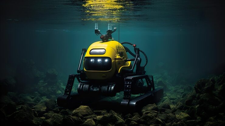
Quick Answer: Underwater robotics services in British Columbia use ROVs, magnetic crawlers, autonomous survey vehicles, and specialized inspection platforms to assess and document submerged infrastructure across the province. Key applications include dam and hydroelectric structure inspection, marine terminal assessment, bridge pier evaluation, water intake inspection, and pipeline survey. BC’s complex mix of freshwater, marine, and industrial underwater environments has driven adoption of advanced robotic platforms across resource, utility, and transportation sectors.
British Columbia has more regulated dams than any other province in Canada. Its ports handle a significant fraction of the country’s Pacific trade. Its freshwater systems power a large portion of the province’s electrical grid. And almost none of the infrastructure supporting those functions is visible above the waterline.
That invisibility is the fundamental driver of underwater robotics services in BC. The province’s asset owners cannot inspect what they cannot see or access. And the underwater portions of BC’s infrastructure represent some of the highest-consequence components in the systems they belong to: dam faces, pile foundations, intake structures, and pipeline crossings operate in conditions that range from murky glacial melt to tidal saltwater, often with no visibility and significant current.
The development of inspection robotics capable of working in these conditions has been one of the more significant changes in BC infrastructure management over the past 15 years.
BC’s Underwater Environment: Why It Creates Demand for Advanced Robotics
Not all underwater inspection markets are the same. BC’s specific environmental conditions have driven the adoption of more capable robotic platforms than many other regions require.
Freshwater turbidity: The Fraser River, Thompson River, and many reservoir systems in BC carry glacial silt that renders optical camera inspection essentially useless. Multibeam sonar is not optional in these environments; it is the only inspection method that produces useful structural data. ROV operators in BC need both sonar expertise and optical inspection capability in their kit.
Tidal range: BC’s coastline experiences tidal ranges up to 5 metres or more in some locations. Structures in the intertidal zone transition between exposed and submerged conditions through the tidal cycle. Inspection programs must account for tidal windows, and robotic inspection is often more efficient than diver inspection for optimizing available water depth in shallow tidal environments.
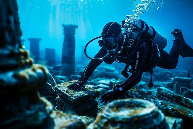
Cold water and marine growth: Pacific saltwater temperatures in BC range from 6 to 18 degrees Celsius depending on season and depth. Cold water limits diver working time significantly. It also promotes biofouling on steel and concrete structures, particularly mussels, barnacles, and kelp, which obscures visual inspection of underlying substrate. ROV operations are not temperature-limited in the same way, and cleaning ROVs can prepare surfaces for inspection in a single mobilization.
Remote locations: Many BC hydroelectric facilities, mining operations, and forestry industry sites are in remote or fly-in locations. Mobilizing a full commercial diving crew to a remote site is expensive and logistically complex. Compact robotic inspection platforms can be transported more efficiently and operated by smaller teams, reducing mobilization costs for remote inspections.
Specific Underwater Robotics Applications in BC
Hydroelectric Dam Face and Intake Inspection
BC Hydro’s Dam Safety Program requires regular inspection of dam faces, intakes, gates, and underwater appurtenances at all regulated facilities. ROV inspection with multibeam sonar and photogrammetry is the standard methodology for dam face condition assessment in BC, producing georeferenced condition data that supports BC Dam Safety Branch regulatory submissions.
The combination of high pressure, cold water, and complex geometry at intake structures makes this one of the more technically demanding ROV inspection applications in the province. Vehicles must operate in proximity to active water flow and often in confined intake shafts with limited maneuvering room.
Port of Vancouver Marine Structure Assessment
The Port of Vancouver, as Canada’s largest port by tonnage, operates marine terminal infrastructure across multiple sites from Roberts Bank to Deltaport to North Shore terminals. Transport Canada and the National Energy Board both have inspection requirements for federally regulated marine structures. ROV inspection programs at Port of Vancouver terminals typically include annual visual inspection of pile condition, cathodic protection system performance assessment, and periodic full structural surveys with quantitative NDT.
Bridge Pier Inspection for TranBC and Municipal Authorities
The BC Ministry of Transportation and Infrastructure (TranBC) operates over 3,000 bridges across the province. CSA S6 (Canadian Highway Bridge Design Code) inspection requirements drive scheduled underwater inspection of bridge pier foundations, scour zones, and submerged structural elements. Many of these inspections occur in turbid river environments where sonar is the primary tool and camera inspection is supplementary at best.
Subsea Pipeline and Utility Crossings
Hundreds of subsea pipeline and utility crossings span BC’s waterways, from ENBRIDGE and FortisBC gas pipelines crossing the Fraser River to municipal water and wastewater forcemains crossing inlet waterways. NEB (CER) pipeline integrity regulations require periodic underwater inspection of these crossings. ROV survey with multibeam sonar and pipeline tracking systems identifies free-span conditions, scour, and cover loss that threaten pipeline integrity.
Emerging Underwater Robotics Technologies Being Adopted in BC
The field moves quickly. Several technologies that were experimental five years ago are now in active use on BC infrastructure projects.
Bathymetric LiDAR: Airborne LiDAR systems with green laser wavelengths that penetrate water can map shallow underwater topography from a drone or aircraft. In clear water conditions, bathymetric LiDAR produces high-resolution seafloor and riverbed mapping at scales and speeds that boat-mounted sonar cannot match. Used for coastal erosion assessment and river channel mapping in BC.
Hydrographic survey USVs: Unmanned surface vessels (USVs) carrying multibeam sonar provide bathymetric survey capability without requiring a crewed vessel. For reservoir bathymetry and coastal charting work, USVs reduce mobilization cost and access constraints compared to crewed hydrographic survey boats.
Underwater 3D photogrammetry: ROV-mounted photogrammetric systems capture overlapping still images that software processes into accurate 3D models of underwater structures. Accuracy in the single-digit millimetre range is achievable for structures up to 50 metres in dimension, making this a viable tool for dam face and pier foundation assessment in BC.
Frequently Asked Questions
Q: What are underwater robotics services in BC?
Underwater robotics services in BC use remotely operated vehicles, autonomous platforms, magnetic crawlers, and survey robots to inspect, map, and assess submerged infrastructure. Applications span hydroelectric dams, marine terminals, bridge piers, pipelines, and water utility structures across the province.
Q: Why does BC have higher demand for underwater robotics than other regions?
BC’s combination of heavily turbid freshwater systems, large tidal ranges, remote infrastructure locations, cold water limiting diver time, and the volume of regulated dam, port, and pipeline infrastructure drives higher adoption of advanced robotic inspection platforms than most other Canadian provinces.
Q: Can underwater robots work in the Fraser River?
Yes, but optical camera inspection is largely unusable in the Fraser due to glacial silt turbidity during much of the year. ROVs used for Fraser River inspection rely on multibeam sonar for structural mapping and navigate using sonar positioning systems rather than visual reference. Experienced operators with the right sonar equipment can conduct productive bridge pier and pipeline crossing inspections in Fraser River conditions.
Q: What is the difference between an ROV and an AUV?
An ROV (remotely operated vehicle) is tethered to the surface and operated in real time by a human controller. An AUV (autonomous underwater vehicle) operates on a pre-programmed mission without a tether. ROVs are preferred for inspection work because the operator can respond to findings in real time. AUVs are preferred for large-area survey where consistent track-line coverage is more important than flexibility.
Q: How are underwater robotics inspection results used for regulatory compliance in BC?
Inspection reports from qualified ROV operators are accepted by BC Dam Safety Branch, Transport Canada, the Canada Energy Regulator, WorkSafeBC, and municipal authorities when documentation meets applicable standard requirements. Reports should reference the specific CSA, NACE, or client-specified standard applicable to the asset type and include calibrated instrument data for any NDT measurements.